

The placename gazetteer is a geographical index listing over fifty-five thousand entries. The gazetteer is a bilingual database with the most updated information from Logainm.
All boundary and placename data is available as open data to download from the Surveying Open Data Portal.
Whilst our maps and mapping services continue to represent Statutory and Administrative Boundaries, their true definition or delineation may only be found on the ‘relevant ordnance map’. Users of Tailte Éireann mapping are consequentially advised to exercise due diligence and undertake appropriate research when reliance on the position of a Statutory or Administrative Boundary is required.
Our boundary maps never indicate legal property boundaries, nor do they show ownership of physical features. Although some property boundaries may be coincident with surveyed map features, no assumptions should be made in these instances and consequently it is not possible to identify the position of a legal property boundary from these boundary maps. The correct maps to use would be to obtain a copy folio/filed plan map from the Land Registry.
Here you can find over 60 boundary datasets as generalised and non-generalised datasets including:
Statute Boundaries
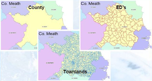
- Counties
- Baronies
- Civil Parish’s
- Townlands
Administrative Boundaries
- Administrative Areas (Local Authority)
- Local Electoral Areas
- Municipal Districts
- Constituency
- Gaeltacht Boundaries.
- Electoral Divisions
Statistical
- Statistical Small Areas/SAPs
- NUTS
- Rural Area’s
Maritime
- HWM and LWM
Cultural Historical
- Provinces
Downloads are available in CSV, KML, Shapefile and GeoJSON formats in ITM projection.
For further information and access to data sets you may also visit Data.gov.ie