


Services
We provide a property registration system, property valuation service, and national mapping and surveying infrastructure for the State.
Jump to section
Property Registration
We maintain the Registry of Deeds, the Land Register and Registry Map for the state.
Unregistered property, where the title is not yet registered on the Land Register, uses the Registry of Deeds system.
For registered land, our role is to examine legal documents and maps submitted as applications for registration and record their legal impact on the registers and maps.
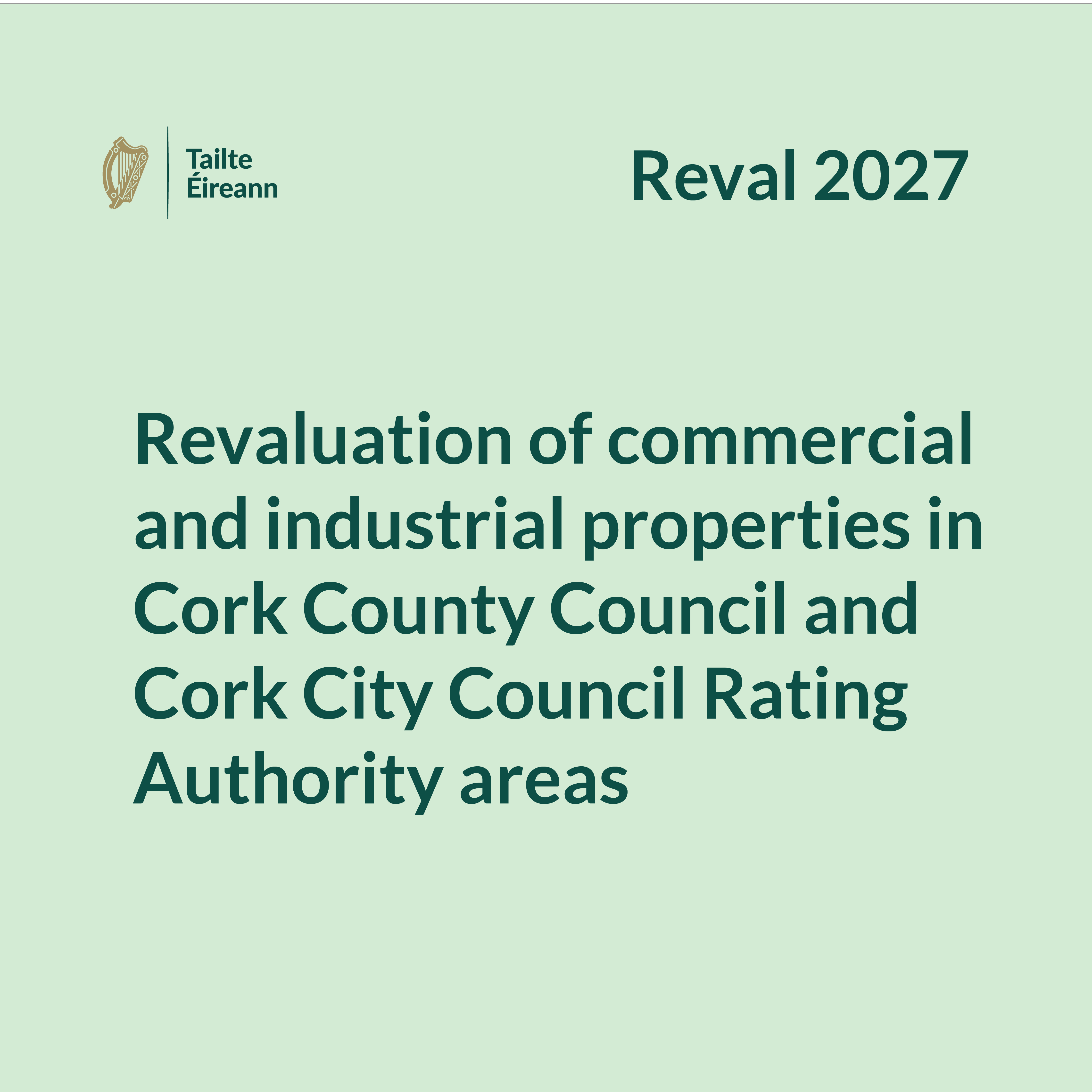
Reval 2027
Access information relating to the revaluation of all rateable properties in the local authority areas of Cork City Council and Cork County Council (Reval 2027), including the key dates.

Valuations
We provide our stakeholders with accurate, up-to-date valuations of commercial and industrial properties. These valuations are integral to the business rating system in Ireland and form the basis for a significant element of local government revenue each year.
We also provide a valuation service, including open market valuations, to Government Departments and Offices, State agencies and other public bodies.
GeoHive
GeoHive is Ireland’s free National Geospatial Data Hub, enabling users to search, view and access authoritative geospatial information via a single portal.
Explore data of interest, from society and health to economic development and the environment and view it through interactive map applications and data catalogues to help better understand life in Ireland.

Geospatial Data
The National Map is Tailte Éireann’s central database of geospatial information. It has all the details you’d expect to find in a geospatial database such as buildings, field extents, road networks. Access to the map data is provided through a number of services for professional mappers, planners, and many more.
We also provide a range of Geodetic Services including a free-of-charge RINEX data download service.
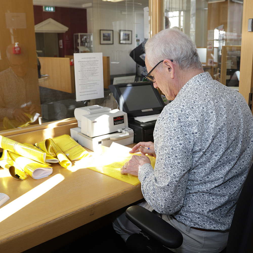
Search and Copy
The registers we maintain are a public record and any person may inspect the folios and maps, or search the Registry of Deeds, on payment of the prescribed fees.
Applications for copies of filed legal documents, known as Instruments, are available on payment of the appropriate fees and in accordance with the relevant Land Registry Rules.
Our archive records are also available for research purposes where copies of valuation certificates and maps, or records from the Registry of Deeds may be requested.
Open Data
Tailte Éireann is committed to the principles of Open Data, in accordance with the national Open Data Strategy. These principles are aimed at promoting innovation and transparency through the publication of Irish Public Sector data in open, free and reusable formats.