

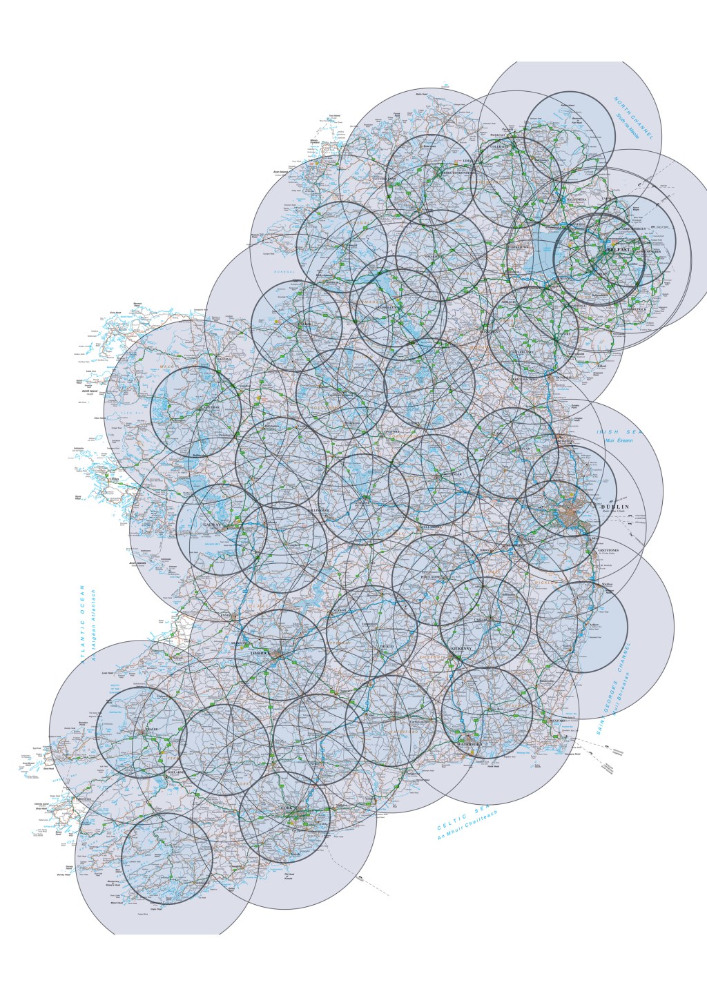
Sonraí Geospásúla
Is éard atá sa Léarscáil Náisiúnta bunachar sonraí lárnach Tailte Éireann maidir le faisnéis gheospásúil. Tá fáil inti ar na sonraí go léir ann a mbeadh coinne ag duine lena bháil i mbunachar sonraí geospásúla amhail foirgnimh, fairsinge réimse, líonraí bóithre Cuirtear rochtain ar shonraí léarscáile ar fáil trí roinnt seirbhísí do léarscáileoirí gairmiúla, do phleanálaithe, agus don phobal le go mbeidh siad in ann iniúchadh agus fionnadh a dhéanamh. Cuirimid raon Seirbhísí Geodasacha ar fáil freisin lena n-áirítear seirbhís íoslódála sonraí RINEX saor in aisce.
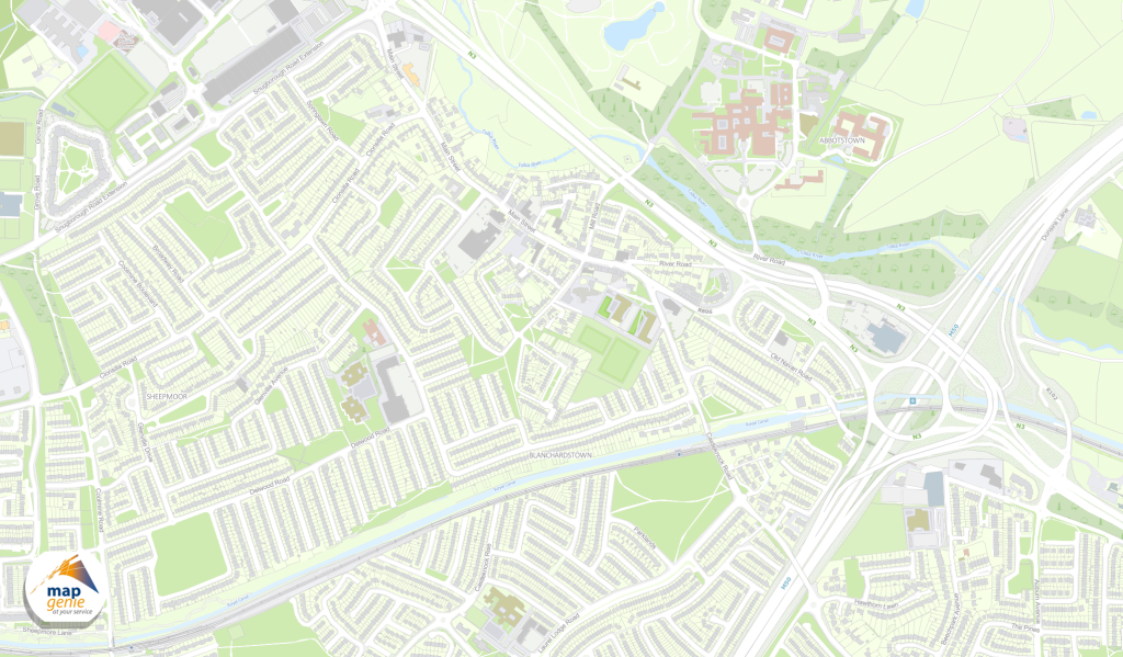
MapGenie
Is sraith seirbhísí geospásúla é MapGenie a sholáthraíonn rochtain láithreach ar líne ar na sonraí léarscáile is cuimsithí, den chaighdeán is airde agus is údarásaí atá ar fáil d’Éirinn.
Seirbhísí Geodasacha
Cuirimid seirbhís íoslódála sonraí RINEX ar fáil saor in aisce. Cinntigh go bhfuil dearbhú cáilíochta leordhóthanach ag d’fheidhmchláir iarphróiseála chun leas iomlán a bhaint as na sonraí caighdeánacha tionscail seo.
Cuirimid an méid seo a leanas ar fáil:
- Sonraí éighníomhach
- Sonraí RINEX
- Tiontaire comhordanáidí
Ag lorg Léarscáile?
Brabhsáil ár Siopa Léarscáileanna chun rogha táirgí léarscáilíochta páipéir agus digiteacha atá ar fáil le ceannach tríd an siopa ar líne.