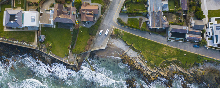
Aerial Image of coastline


We license the use of data in Digital format for a wide range of computer based applications such as Business Intelligence (BI), Computer Aided Design (CAD) and Geographic Information Systems (GIS). Digital data carries many capabilities including linked data abilities, providing a powerful operational, marketing and decision-making tool. Digital mapping data can be provided in a range of formats and projections.

Our DLMCore data is extracted from the PRIME 2 database; a standardised, authoritative digital framework that enables the consistent referencing and integration of data related to location. The data included comes from a combination of sources; re-engineered data from the previous digital database, and new data plotted from orthophotography or captured on site by GPS. The Digital Landscape Model (DLM) allows the data to be attributed with metadata, including text labels (place names etc.) and lifecycle status (indicating when individual objects were first mapped, amended, or deleted).

We can provide Height, Historic and Discovery data in digital formats as well as a digital version of our popular Planning Pack. Additionally, we have made a number of our digital data sets available as open data. These can be explored on the Surveying Open Data Portal.

The purchase and use of digital data is subject to licensing terms and conditions. Those wishing to license more digital data than is available from the online store may contact digitals@tailte.ie. 

 

Maps and data products available

Aerial Imagery Maps and Data

Digital and PDF outputs of our extensive Aerial Imagery archive can be purchased directly from our online store. We also provide digital versions or our imagery data for professional use. Learn more about our aerial imagery products.

Purchase from the online store

Boundary Data

Tailte Éireann provides Statutory, Administrative, Statistical, and Maritime boundary data sets. This wealth of boundary data is available to download as open data in a variety of formats with both generalised and non-generalised options. Learn more about Boundary Data and its uses.

Download Boundary Data from our Open Data Portal

Discovery Digital

Our Discovery Series features rich raster data showing detailed landscape information including rivers, lakes, contours, and townland names. It also shows the man-made environment, with villages, roads and rail networks. Paper editions of the Discovery Series are also available in our online store.

Learn how to purchase a Digital Extract

Height Data

We supply a variety of products for use in representing height and ground relief. Available as Digital Terrain Models (DTM’s) and LIDAR (Light Detection and Ranging) high accuracy datasets.

See available Height Data products

Historical Maps and Data

PDF and digital raster extracts of our Historic 6 inch and 25 inch mapping data are available for your area of interest. PDF outputs and small areas of interest can be purchased via our online store. Learn more about available maps for larger areas of interest.

Purchase Historic Maps from the Online Store

Ireland Digital

Digital raster versions of our most popular Ireland, Cities and Dublin series of mapping including the Ireland 450k, Road Atlas of Ireland, the Dublin Street Guide and our City mapping.

Learn more about available Ireland Digital maps

National Land Cover Map

Understand the environment, make informed decisions and balance the requirements of agriculture, industry, infrastructure, and leisure.

Read more about the Land Cover Map