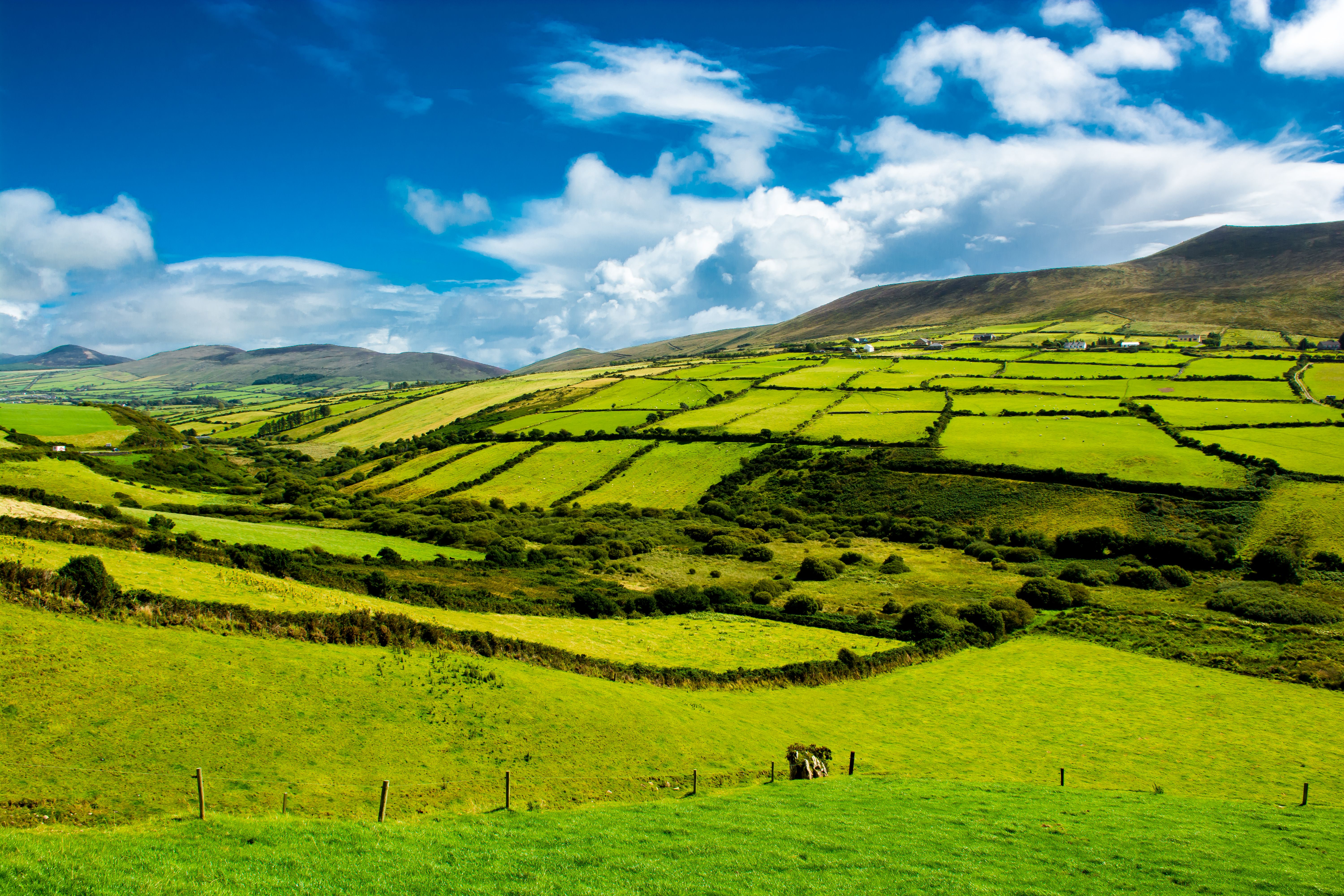
Rural Landscape With Pastures In Ireland

About Tailte Éireann

We provide a title registration and property valuation service for the State, create and maintain the definitive mapping records of Ireland, and are custodians of archives which document a 300 year history of Irish lands.

Our Vision

To be the authoritative provider of world-class digital-first land and property services.

Our Mission

To provide trusted land registration, valuation and surveying services that benefit Irish society and the economy.

Lighthouse looking out ot sea from a flower-filled cliff.

Who we are

We are an independent Government agency under the aegis of the Department of Housing, Local Government and Heritage. Tailte Éireann was formally established under the Tailte Éireann Act in December 2022. 

While our name may be relatively new, we have a long and deeply rooted connection to the land of Ireland, dating back to the establishment of the Registry of Deeds in 1708 and the first survey map of the island of Ireland which began in 1824. 

We have a team of over 900 staff members based in nine locations across the country, dedicated to providing an efficient, customer focused service. Our team is made up of a broad range of Civil Servants, including Solicitors, Valuers, Surveyors, Archivists, with decades of collective experience in their respective areas. Read more about the team, and opportunities to join us, in our Careers section.
What we do

We are proud to provide a range of property, mapping and archive services to our customers and partners on behalf of the State.  

We provide a system of registration of ownership to land in Ireland through the management of the Land Register and the Registry of Deeds. Each year, we register the legal effect of over 200,000 property transactions and secure the original deeds in our Archives. 

We deliver accurate, up-to-date valuations of commercial, industrial, and state-owned properties to our stakeholders and maintain accessible records of commercial property rates for Local Authorities and for the public. 

Our surveyors create and maintain the definitive mapping records and physical infrastructure of the State. We produce digital and paper map products for use by a range of customers, including Government departments, mapping professionals, historians and hill walkers. 

In addition, we are the custodians of an extensive archive of unique records which document the change in property ownership and the physical landscape over three centuries, which is an invaluable resource for genealogical and historical research in Ireland.   


Staff Member with a Customer

Customer Service

We are committed to providing a high-quality service to all customers and service users in line with our Public Sector Duty and the principles of Quality Customer Service.