Registry of Deeds Records

Registry of Deeds records can be used to trace property transactions registered in Registry of Deeds from 1708 to now. The Memorial record is the summary of the deed registered in the Registry of Deeds, and Transcript Books are transcriptions of Memorials. All other record series are finding aids which help the researcher find the relevant property transaction.

All records from 1708 to 1969 can be viewed in person by appointment at our Henrietta Street Office. A fee of €10.00 applies to inspect each original Memorial/ROD Applications record.  All other pre-1970 records are free of charge to view.

The Memorial/ROD Application Form is the fullest statement of the relevant elements of a Deed the Registry of Deeds can supply. The information contained in a Memorial/ROD Application Form includes the date of the deed, nature of the deed, details of the parties to the deed and a description of the property affected by the deed. The Memorial/ROD Application Form will not contain a map.  The original deed was returned to the lodging party after registration and was not retained by the Registry of Deeds.

Transcript Books contain full transcriptions of Memorials, transcribed verbatim by Registry of Deeds clerks for memorials registered between 1708 and 1960.

Transcript Book List 1708-1832 PDF

Transcript Book List 1833-1960 PDF


The Names Index is an alphabetical index of grantors named in transactions recorded at the Registry of Deeds. A Grantor refers to the individual or organisation disposing of the property in some way such as conveyance (selling) or transferring ownership of a property.

When you search the Names Index by grantor’s name you will find the relevant registration serial number of the Memorial/ROD Application Form for the transaction. The same registration serial number is then required to search the Transcript Books and the Abstract Books or order copies of Memorials.  The Names Index is in bound volume format for the period 1708-1969. From 1970 to date, the Names Index is accessed electronically via official search or public search for account holders on LandDirect.ie.

Names Index List 1708-1969 PDF

The Lands Index is a geographical index of transactions recorded at the Registry of Deeds. Entries contain the geographical denomination (listed alphabetically by first letter only), the barony or parish if present, and the surname of the grantor only. Lands Indexes cover the period 1708 – 1946, with Dublin City and County covered to 1949, and are a useful tool if you do not know the name of the grantor.  For advice on using Registry of Deeds Land Index please read our guide to using the Land Index.

Lands Index List 1708-1949 PDF

Abstract Books contain an abridged version of the details held within memorials. Abstracts cover the period 1833 – 1969 and include the registration serial number, date of registration, name and date of the deed, persons involved, description of the property and general nature of the deed. These records continue to be amended when a pre-1970 mortgage is vacated.  Abstract Books exist in electronic format post 1970.  A series of early Abstract Books, created retrospectively, exist for 1708 -1717, and 1800 -1832.

Abstract Books List 1833-1969 PDF

All Memorials/ROD Applications from 1930 to 2018 have been microfilmed. ROD Application Forms from 2019 to 2024 have been scanned in place of microfilming.

Microfilm List 1930-2018 PDF

All records from 1708 to 1969 can be viewed in person by appointment at the Registry of Deeds. Post 1970 records can be accessed by using LandDirect.ie or availing of Registry of Deeds Search and Copying Services.

Existence of Copies

The Names Index, Lands Index, and Transcript Books dating from 1708-1929 were microfilmed by the Church of Latter-Day Saints in 1950 and 1968, with the permission of the Department of Justice, Ireland. Copies of the microfilms are available from the National Library of Ireland, Public Record Office of Northern Ireland and have been published on FamilySearch.org. A sample set of Registry of Deeds Transcript Books have been digitised and published on VirtualTreasury.ie.

These links are provided for informational purposes only and Tailte Éireann bears no responsibility for the accuracy, legality or content of external sites.

Surveying Records

The following printed map series have been digitised and are available to view and purchase as Historic Maps and Historic data extracts.

  • 6-inch mapping, surveyed 1826-1834
  • 6-inch revision mapping, surveyed 1830s-1930s
  • 25-inch mapping, surveyed 1863-1924

Records relating to establishment of the first Ordnance Survey and the 6-inch survey completed 1824-1834 have been deposited with the Royal Irish Academy and the National Archives of Ireland.

25 Inch Survey

The archival records relating to the original 25-inch survey of Ireland are held by Tailte Éireann and will be made available for public access once fully catalogued.

Valuation Records

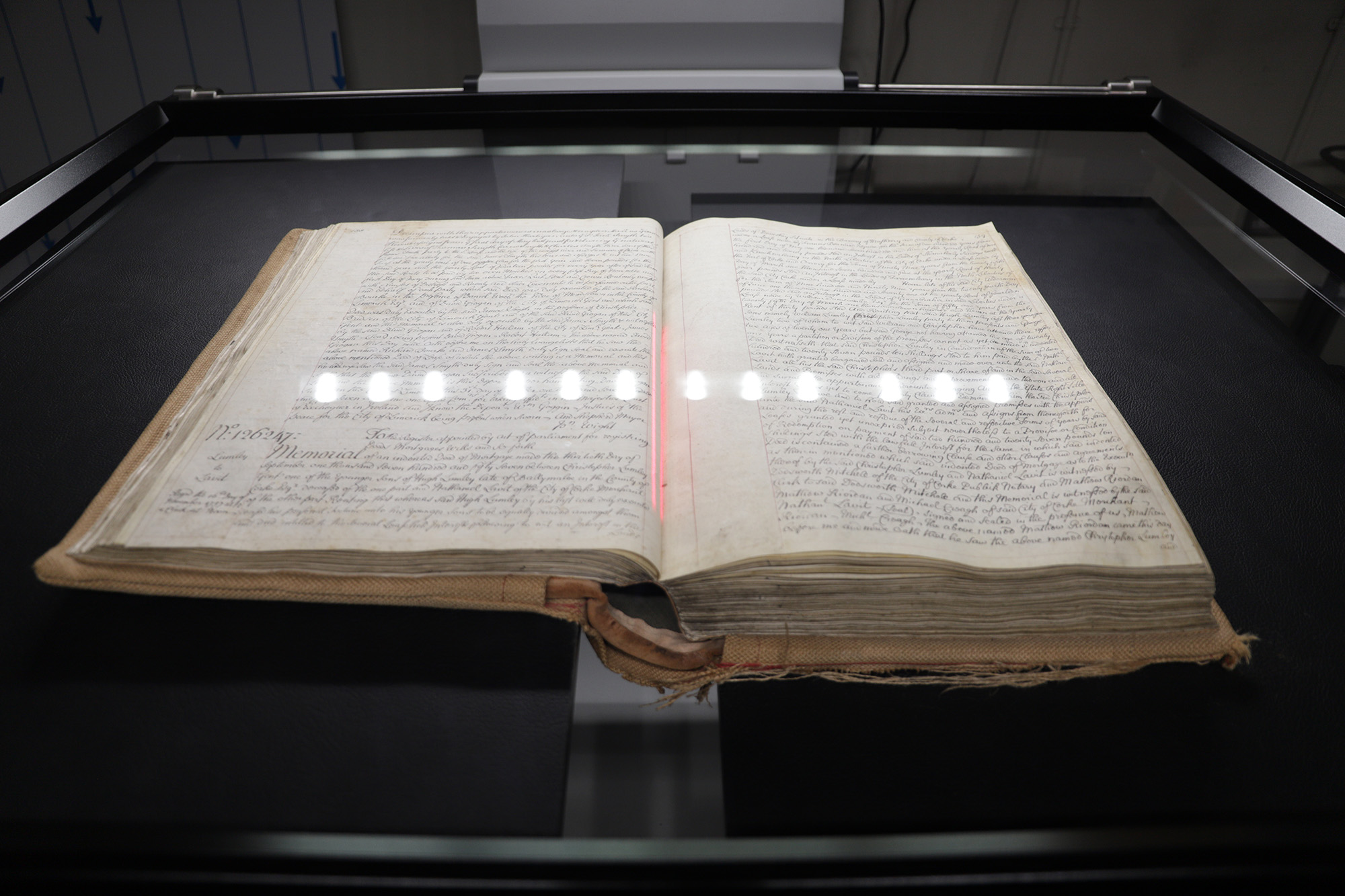
The valuation records held in our archive are the original copies of the Post-Primary Valuation Revision Books. The Primary Valuation records (Commonly referred to as the Griffiths Valuation, after the first Commissioner of Valuation, Sir Richard Griffith) are available to view through the National Archives. We retain copies of these in our archive.

The post-primary books that we hold date from the mid 1850’s to present day. For domestic properties, our records generally cover up until the 1980’s, whilst commercial properties are still valued up to today. The information found in our records is all the information related to the valuation of each individual holding within the state. The Valuation records for the six Counties of Northern Ireland are held in the Public Records Office of Northern Ireland (PRONI) in Belfast.

We also hold the original copies of the post-primary valuation maps, which will show exactly where the property you’re researching is located. We hold various series of maps that were updated throughout the years and reflect any sub-divisions of land that may have taken place. The years for the updates of these maps varies from place-to-place. 

What information is contained within these books 

The information found in our records will show the name(s) of the Occupier, Immediate Lessor, a description of the property, any acreage associated with the property, the associated rates applicable for the property, and records the dates of any change(s) on the property. For example, it will show when a person is replaced as the occupier/immediate lessor of a property, and the date this change occurred. The books will also reference the Valuation Lot No. and Ordnance Survey map number for each property, which can then be cross referenced with the Valuation maps that we hold. 

Can I view the records online? 

At the moment, our records are only available in our office. While we have digitised a vast amount of the collection, these records can only be viewed on one of our visitor terminals in our Public Office. 

What if I can’t make it to the office? 

If you are unable to visit our office, we offer a service where you can make an application to us, and a member of staff can carry out the research on your behalf. There is a flat fee of €30 for this service and additional costs can be incurred where a large volume of physical copies of the records are requested by post. There are no additional fees for records sent electronically. To make an application to us, please complete application form C3 and return it with as much information as possible. Once the form has been completed, please send it to us by email to valinfo@tailte.ie or by post to Tailte Éireann, Valuation Public Office & Archive, Block 2 Main Plaza, Irish Life Centre, Abbey Street Lower, Dublin 1, D01 E9X0. 

Research Guides

Tailte Éireann has produced research guides to some of our collections. The guides will provide hints and tips on using our collections and interpreting different records.

Caring for our Collections

Cataloguing

Ensuring all our collections are catalogued to the appropriate archival standard is a core objective for Tailte Éireann over the coming years. Our aim is to ensure our collections are accessible to people across the world.

Preservation

Our archives team work on a range of measures to reduce any risks of damage to the collections. Their activities include advice on handling, condition assessment surveying, cleaning and rehousing into archival enclosures.