

GeoHive
GeoHive, the state’s free Geospatial Data Hub developed by Tailte Éireann, provides access to a wealth of information and data, both current and historical, about almost all aspects of life in Ireland.

Do you want to know where land exists for new housing developments and where planning applications have been granted or refused? Do you want to know where the best habitats are for hen harriers and other birds of prey? Do you want to know what proportion of young people are in full-time education in your town? Do you want to know the name of that wreck just off the mouth of Waterford Harbour? GeoHive can help you find the answers.
GeoHive is designed for use by technical and non-technical users alike. Environmental organisations, commercial businesses, community groups and citizens can explore GeoHive to find and analyse data and find the answers to their questions. The data and resources that can be accessed from GeoHive can help everyone to find out more about the places, the people and the issues that they care most about. We can then all make the right decisions to build a better future for Ireland.
GeoHive provides users with three different ways to find, visualise and access data all within a single easy to access hub.
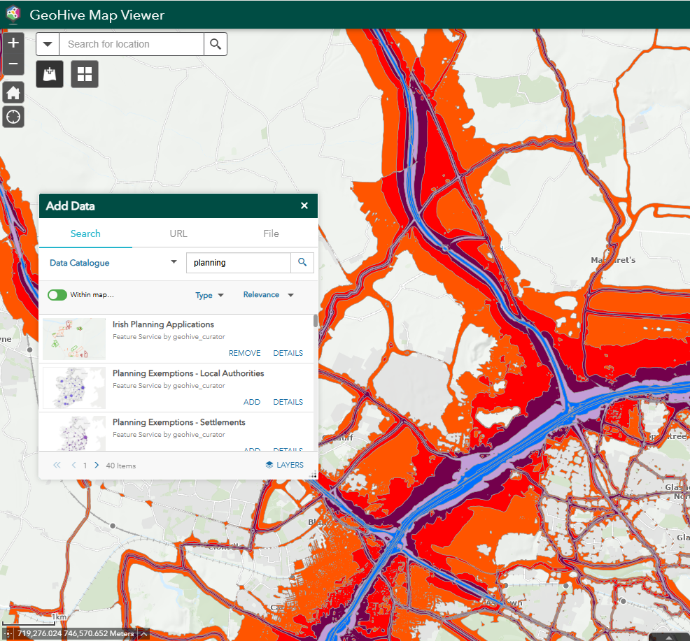
View Interactive Maps
GeoHive Map Viewer is a simple-to-use interactive map application that allows you to find and display data relating to locations of interest. Add data from the data catalogue to the map using the search box, or choose to add your own! You can, for example, search for and select data on air quality, water contaminants and plastic debris in marine environments, to start to build up a picture of pollution in a specific location and make visual comparisons with other parts of the country.
You can further customise the maps by selecting from a choice of our basemaps, draw on the maps, and measure distances on them before choosing to print them.
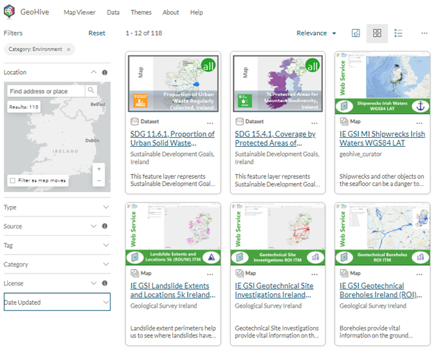
Browse the Data Catalogue
Through GeoHive you can access data via the Data Catalogue where all available geospatial data is aligned to recognised Government of Ireland data categories including Agriculture, Fisheries & Food, Economy & Finance, Energy, the Environment, Housing, and many more.
Search for data of interest by name or select a category of interest to get a list of all available datasets in that category. Filter the list by topics of interest for a more detailed view of the data where it can be viewed or downloaded for further analysis.
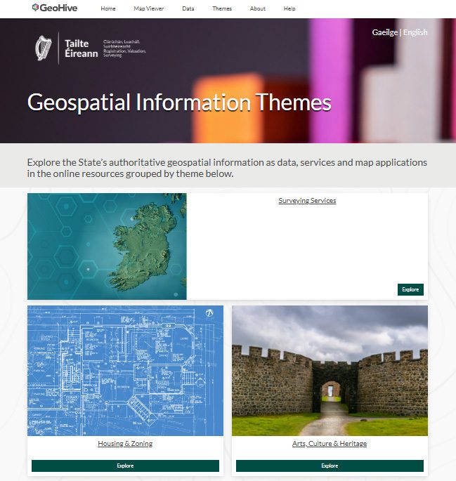
Explore existing resources by Theme
Dive into the Themes area of GeoHive to access a treasure trove of user friendly online web apps, story maps and dashboards created and maintained by different public service bodies and research groups, many in collaboration with Tailte Éireann.
For example, under the ‘Population & Society’ theme, you can access Irelands Sustainable Development Goals Data Hub, a platform that reports on Irelands progress towards the SDG goals developed in partnership with the Department of the Environment, Climate and Communications and the Central Statistics Office. Or take a look at Irelands Census Data Hub, a data catalogue presenting both 2016 and 2022 census data combined with Tailte Éireann’s official boundary data, developed in partnership with the Central Statistics Office.